


In the last episode on the Rhode Island History Course I reviewed the first Unit I subsection, on the geography and geology of Rhode Island. Today's post will briefly look at the second Unit I subtopic, "Narragansett Bay and the Atlantic."
Narragansett Bay and the Atlantic
The area of Rhode Island is 1214 square miles; 1055 of which is land with169 square miles of water and 400 linear miles of coastline. According to the Rhode Island Geography Education Alliance, the state has 108 islands. While many aren't much more than rocks poking out of the water, three -- Prudence Island, Conanicut Island, and Aquidneck Island -- make up the towns of Jamestown, Portsmouth, Middletown, and Newport. Plus a fourth, Block Island, comprises the town of New Shoreham.
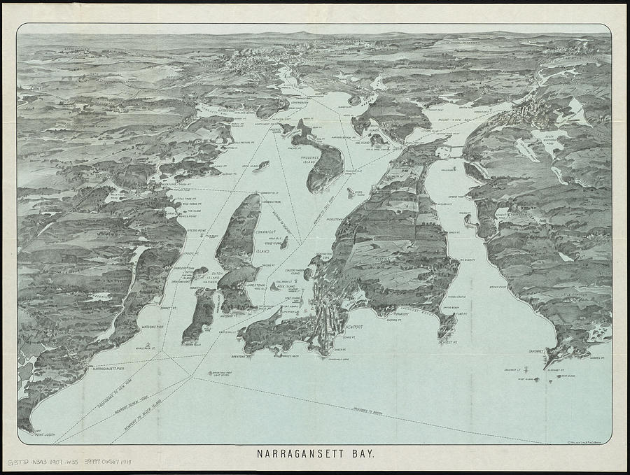
.jpg) |
| Vintage Pictorial Map of Narragansett Bay - 1907 |

Fast-forward to the arrival of the English. While it's obvious the Atlantic was important to the English and other European powers for establishing, supporting and trading with their colonies, the idea of an "Atlantic World" as a field of historical study is relatively new. Rather than viewing the Atlantic exclusively through a Eurocentric lens:
"Atlantic history...seeks to gain better understanding of the many transatlantic connections that existed in the early modern period...encompass[ing] the imperial histories of the various Western European nations as well as the regional histories of West Africa and the Americas [3].
Brown University, which has done much to reckon with its past complicity with the slave trade, has an entire section of its History Department focused on the study of the Atlantic World:
Atlantic World history refers to relationships and interactions between the peoples of the Americas, Africa and Europe, from the fifteenth through the nineteenth century, as these regions came to constitute a single, integrated system, joined rather than separated by the Atlantic Ocean. Its study focuses on themes such as migration and colonialism; the African slave trade, New World slavery and its abolition; trans-oceanic commerce and the development of history’s first worldwide cash economy; violence, mixing and transculturation among Europeans, Africans and indigenous Americans; negotiation of knowledge about medicine, geography and the natural world; and the evolution of imperial systems and the wars of Independence. [4]
An opportunity to return this Atlantic World paradigm and delve deeper into this idea will be when the course examines the so-called "Triangular Trade." The general outline of the triangle trade is well known -- Rhode Islanders traded rum from local distillers for slaves in West Africa, slaves and local farm produce for molasses in the Caribbean, and then trading molasses to local distillers to make more rum. Digging deeper, there is the complicity of west African kingdoms in the slave trade, the brutal conditions of English sugar plantations in the Caribbean (with which prominent Rhode Islander merchants had made important contacts), and Rhode Island's replication of English society which coerced unfree labor via indentured servitude from Indigenous people and enslaved Africans from both groups, placing them into the lowest rungs of the colony's social structure. Because of the scholarship connected with the Atlantic World paradigm, there are numerous primary and secondary sources (such as this article by Joann Pope Melish on the RIHS website) available for all these topics for students to spend part of a class looking at sources then then the rest developing a narrative that goes beyond...this.
 |
| Credit: The Columbian Exchange and the Triangular Trade. sites.google.com/site/almasexplorationproject |
___________________________________________
[1] See the arrowheads.com webpage "Highly Significant Pre-Contact Village Saved." Notable in the OP is the lengthy list of online sources about RI 110 that existed when the post was written in August 2013, the links for which are all nearly dead now.
[2] Andrew C. Lipman, “Murder On the Saltwater Frontier: The Death of John Oldham,” Early American Studies: An Interdisciplinary Journal 9, no. 2 (Spring 2011): 276-77; Russell G Handsman, A Homelands Model and Interior Sites: A Phase II Archaeological Study of Rhode Island Site 2050, Phenix Avenue, Cranston, Rhode Island (Kingston: University of Rhode Island, Dept. of Sociology and Anthropology, Program in Public Archaeology, 1995): 4.
No comments:
Post a Comment